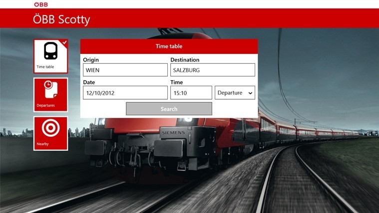
Street Map
Advertisement

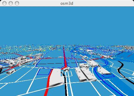
Osm3d v.0.02
This is Osm3d - a software to display 'Open Street Map' data in 3d - for Linux and MacOS X.
Advertisement
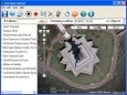
Arm Map Explorer v.2.2
Arm Map Explorer recreates all the functionalities of Google Maps while adding new ones like viewing a map with a coordinate grid on it, getting precise coordinates of any location on a map, moving to a needed location based on specified coordinates.
IMapBuilder Interactive Flash Map Builder v.6.86
iMapbuilder is an interactive map program for Webmasters and anyone else who want to build professional, clickable, interactive maps for their web site, but is just too busy to learn Flash, programming or additional mapping software. Download
Roadnav v.0.19
Roadnav is an open source street navigation solution capable of running on a variety of operating systems. It can obtain your position from a GPS unit, plot a map of your area, and provide directions to locations in the USA.

TTC Transit Guru v.2.1.0.0
Take with you all TTC bus and street car routes, look up real time GPS arrivals for stops nearest to you or anywhere else on the map. Save your most traveled routes. Thank you everyone for the valuable feedback. The improvements in version 2.0 are a

Automapki v.1.3.3
Automapki application brings web mapping and public satellite imagery to AutoCAD / ZWCAD / Bricscad software to display your project on top of your favourite web mapping source: Bing Maps, Google Maps, Yahoo Maps or Open Street Map.
Automapki x64 v.1.3.3
Automapki application brings web mapping and commonly available satellite imagery to AutoCAD / ZWCAD / Bricscad software to display your project on top of your favourite web mapping source: Bing Maps, Google Maps, Yahoo Maps or Open Street Map.
IDiary4D Professional v.1.6
There are so many functions of iDiary4D as follows, 1.Track management functions; 2.File management functions; 3. Files and tracks integration; 4. Theme editing and management functions; 5. Search function of files, themes, and tracks; 6. My e-map.

MBTA Transit Guru v.2.1.0.0
Take with you all MBTA bus routes, look up real time GPS arrivals for stops nearest to you or anywhere else on the map. Save your most traveled routes. Thank you everyone for your valuable feedback. Version 2.0 is a direct result of it. Please see
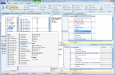
DbMouse PRO v.6.0.1
Modern ribbon-based data manipulation tool for Microsoft SQL Server. Quick database browser. SQL profiler. Master/detail views. Advanced data filtering. Export, import. Exports can be saved as jobs. Data synchronization. Database diagrams.